

Photogrammetry
Mapping & 3D Modelling by Drone
Photogrammetry
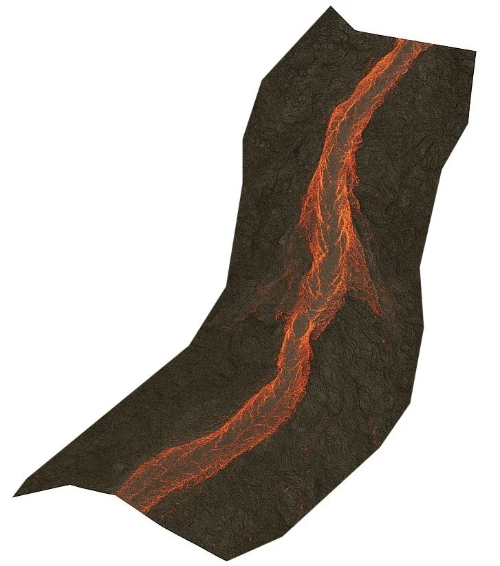
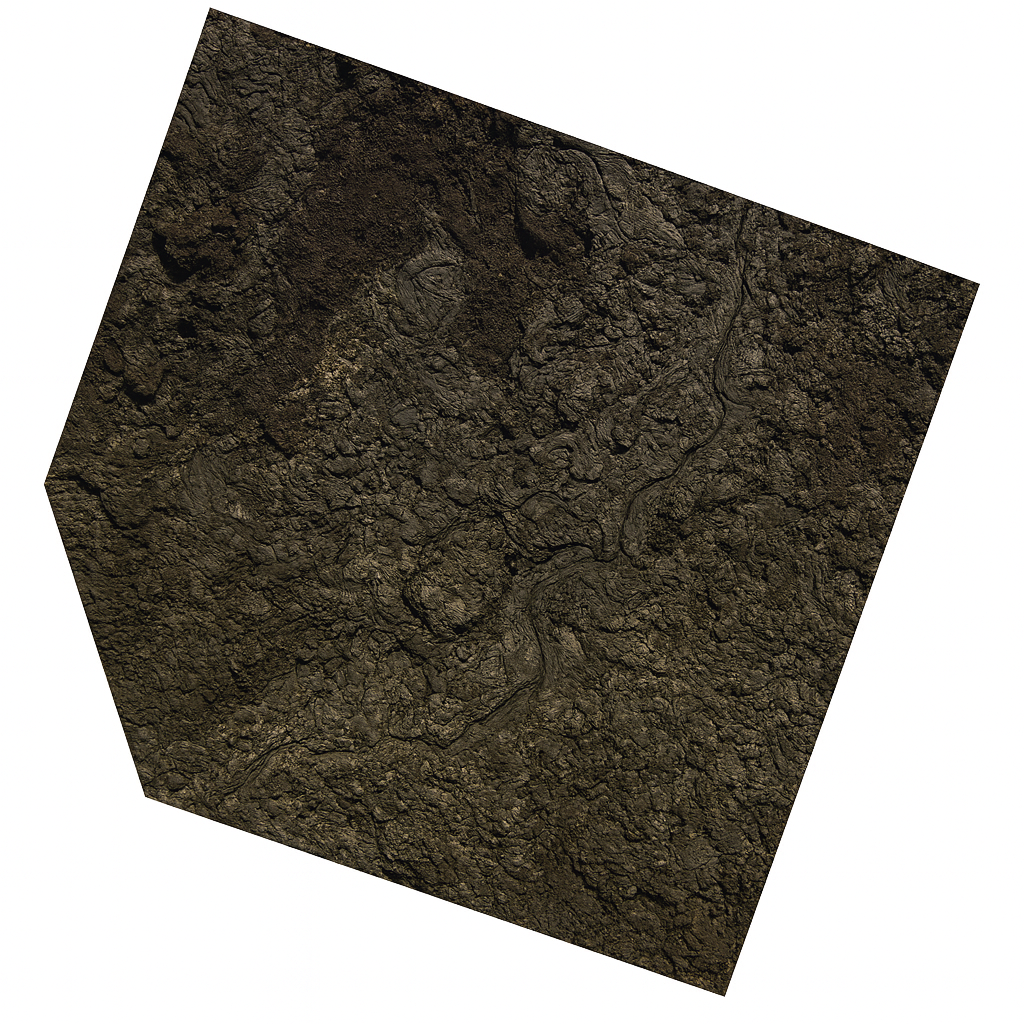
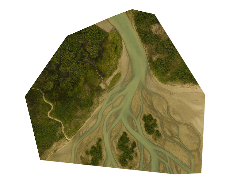
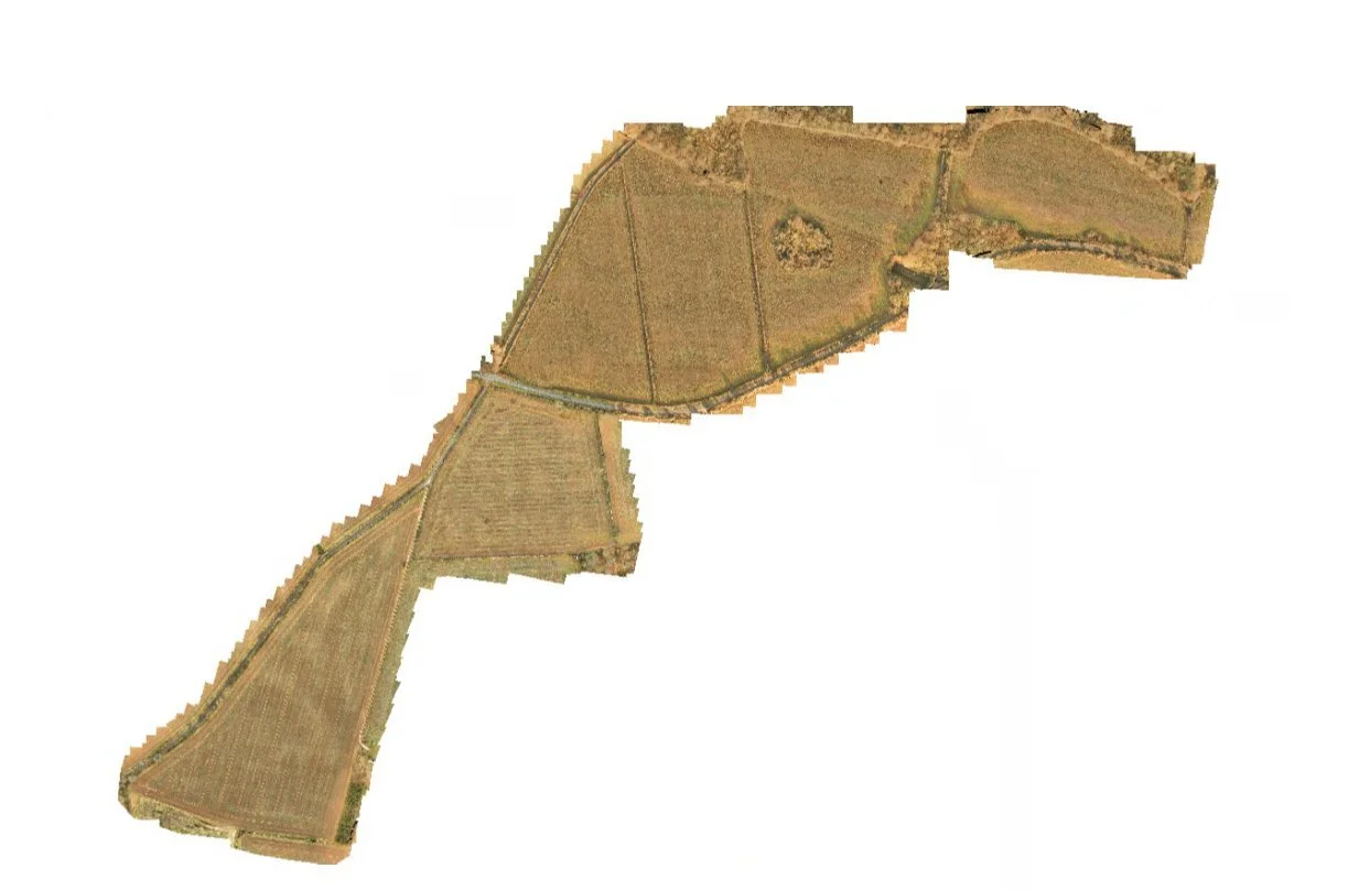
Our photogrammetry services use overlapping aerial imagery to generate highly accurate 2D maps, 3D surface models and digital twins. It’s a powerful, cost-effective way to survey land, measure volumes, and track construction progress.


Use Cases
Land development and planning
Agricultural mapping
Quarry and stockpile monitoring
Roof/asset measurement
Progress tracking for builds
Benefits & Deliverables
Orthomosaics, point clouds, 3D mesh models
Volumetric calculations (cut/fill, stockpiles)
Geo-referenced outputs
Rapid capture of large areas
Compatible with CAD, GIS, BIM workflows
Credentials
We fly high-resolution camera drones with RTK positioning to deliver exceptional accuracy and fast turnaround.
Ready to map your site in stunning detail? Get in touch for a free quote on photogrammetry services.
